1920's Montmartre's Hill
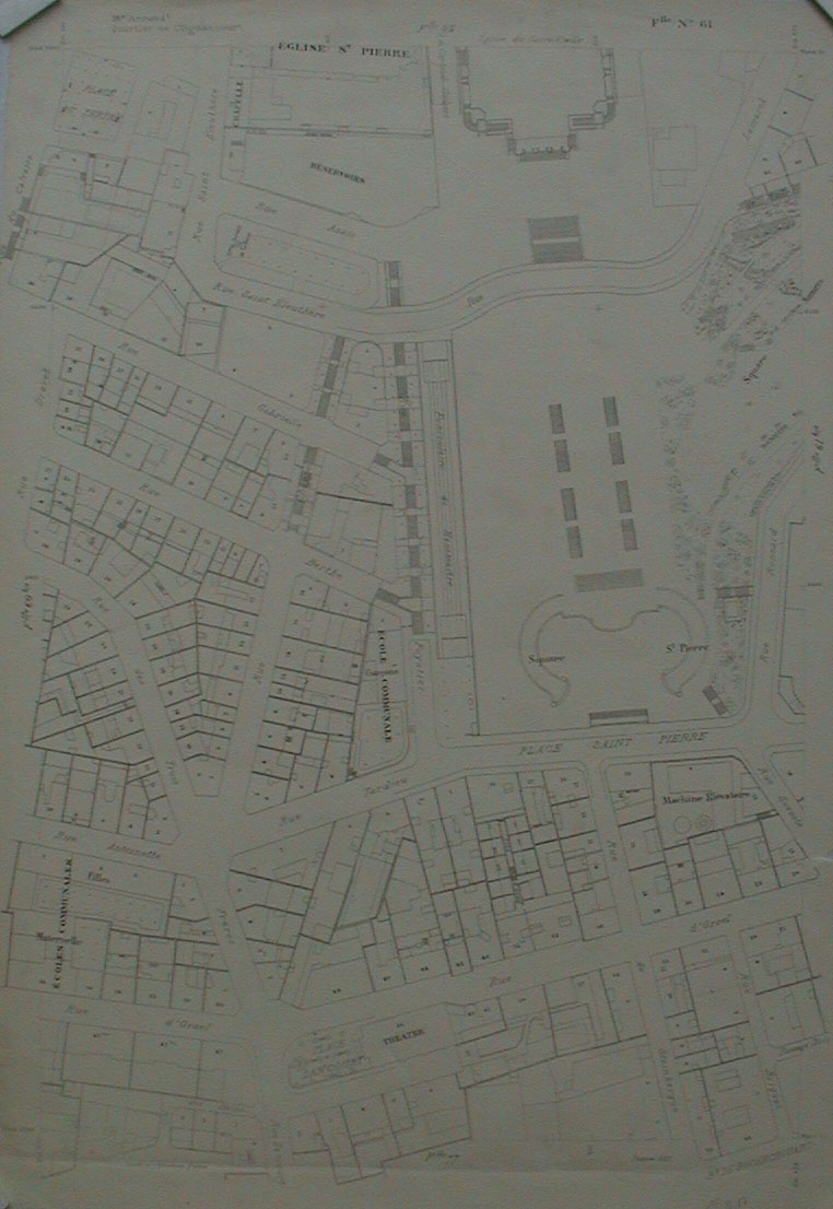
Here is one section of the 1920's map of Montmartre. You can recognize here the square which is south of the Sacré Coeur. A complete map of the hill couldn´t be found because, in the 1920´s, the districts of Paris were presented by sections. In this case, in order to have an old map of Montmartre, I had to take about 10 pictures of the 10 sections, put them together, like a sort of puzzle.
On an actual map, which you can see on this site, the popular clubs and cabarets of the 1920´s, where jazz was played, are indicated thanks to red buttons. Clicking on them, you can learn about the story of these places.
This section of the map as well as the others were found at the Archives of Paris.